
Laser Scanner vs Total Station
A total station measures the points you choose, very accurately, one at a time. A laser scanner measures everything in view, in minutes.
The bigger difference is not accuracy — it is what happens when a question comes up about a point nobody chose.
 No sensitive case details required.
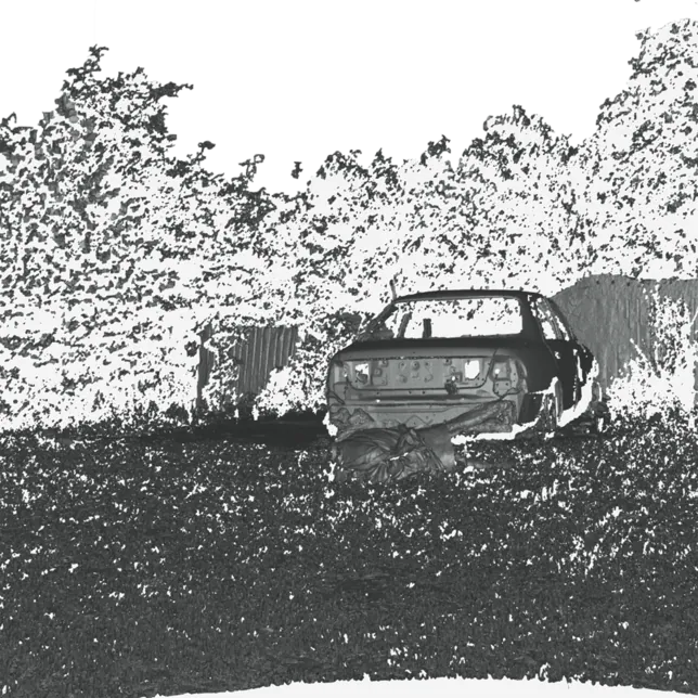
Laser scanner or total station for scene mapping?
The laser scanner. A total station records a few hundred selected points over hours; a scanner records millions, covering every surface in view, in minutes, so a measurement nobody thought to take at the scene is taken later from the model.
How they compare
Compared on what you have when the scene has been released.
| Laser scanner (Artec Ray II)Every surface in view, from a tripod, in a dome. | Total stationSelected points, measured one at a time. | |
|---|---|---|
| What is recorded | Millions of points; every surface in view | A few hundred selected points |
| Time on scene | About 1.7 minutes per position; a room in two or three | Hours, and an operator at the instrument throughout |
| Point accuracy | 1.9 mm at 10 m | 1–2 mm + a few ppm per point |
| Unplanned measurement later | Yes — any point, from the model | No — if it was not shot, it is not there |
| Output | Point cloud, mesh, measured views, fly-through | Coordinates and a plan drawn from them |
| Choose this when | The scene record; a total station adds survey control where needed. | Control points and survey ties, where those are needed. |
Where a scene must be tied to a survey datum, a total station still provides the control; the scanner provides everything else.
The point nobody shot
A total station is a precise instrument. Each point it records is accurate to a millimetre or two. The problem is the word "each": an operator chooses perhaps a few hundred points over several hours, and a plan is drawn from them afterwards. Anything not chosen is not recorded. When the defence asks, six months later, how far the light switch was from the doorway, the answer is either in the points or it is nowhere.
A laser scanner records every surface in view. Artec Ray II scans each position in about 1.7 minutes (2.7 with colour) with 1.9 mm accuracy at 10 metres; a room typically takes two or three positions, a building or a road more. The question about the light switch is answered from the model in seconds. Sightlines, heights and distances are measured as they are needed, not as they were anticipated.
Total stations retain a role where a scene must be tied to survey control. For the scene record itself, many units now rely on scanning — and the capture method still matters: Origin Forensics' report has vehicle inspection scans falling from three to four hours with a tripod laser scanner to under one with Artec Leo.
The figures behind the verdict
See a room captured from a few tripod positions, then ask for a distance nobody planned to measure — book a demo.
Book a demoQuestions practitioners ask
Is a total station more accurate?
Per point, yes — a total station measures to 1–2 mm plus a few ppm, and its lead grows with range (Ray II: 1.9 mm at 10 m, 5.3 mm at 40 m). But it records a few hundred points; the scanner records the whole surface. For a scene record, coverage usually decides more than the last millimetre.
Do we still need a total station at all?
For tying a scene to survey control, possibly. For documenting the scene, the scanner records far more, far faster.
How long does a room take?
Typically two or three tripod positions at about 1.7 minutes each (2.7 with colour), plus moving the tripod — usually well under half an hour.
Can scan data go into our mapping software?
Yes. Artec Studio exports E57, PTX and other point-cloud formats, and OBJ or PLY meshes.

Tell us about the work you do
A forensic application specialist will come back with the device that fits it, the accuracy to expect at that scale, and how the data reaches your existing workflow.